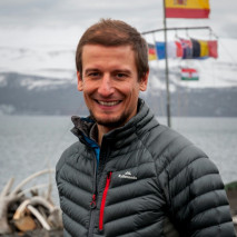
Gabor KereszturiEarth Scientist

Biography
Gabor’s research focuses on geospatial mapping and quantifying geological and environmental processes using remote sensing and field-based approaches. Current research efforts include development of remote sensing applications for geological mapping of active volcanoes and the integration of this technology into early warning system and volcano monitoring.
Project role
In the ‘Beneath the Waves’ research programme, Gabor is leading the hyperspectral imaging to connect geophysical imaging to surface processes.